


Map Engine is the First Machine Learning Driven Photogrammetry Engine on the Market
SAN FRANCISCO — (BUSINESS WIRE) — August 21, 2018 — DroneDeploy, a drone software platform with the largest drone data repository in the world, today announced the release of Map Engine— the industry’s first machine learning-driven photogrammetry software. This release comes after a successful beta period where it processed 30K maps per month for more than 4,000 clients across 180 countries.
This press release features multimedia. View the full release here: https://www.businesswire.com/news/home/20180821005247/en/
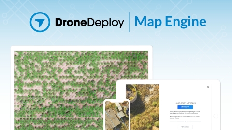
DroneDeploy Releases Intelligent Cloud Photogrammetry (Graphic: Business Wire)
DroneDeploy’s Map Engine generates high-resolution maps and 3D models from drone imagery collected in the construction, energy, agriculture, and surveying sectors. The new processing engine leverages the latest cloud infrastructure and machine learning technology to deliver high-quality results and help customers reduce on-prem hardware and maintenance costs.
"Map Engine tracks billions of points in aerial images to simultaneously reconstruct 3D scenes and the trajectory of the drone,” said Nicholas Pilkington, DroneDeploy’s CTO. “We have brought together the latest advances in cloud computing, computer vision, and machine learning to build a best-in-class photogrammetry pipeline that delivers accurate results in record time—no matter your workflow."
This release includes four major improvements over earlier beta versions:
1. Improved Speed: Map Engine now generates maps and models 30-50% faster. Scenes made up of hundreds of images can be processed in under an hour.
2. Improved Accuracy: Industry-specific accuracy improvements for Agriculture, Construction, and Solar generate higher-quality results.
3. Large Map Support: Maps of up to 10,000 images (100GB) can now be quickly and accurately processed (in beta).
4. Mobile Uploads: Customers can now wirelessly transfer images to the cloud with Mobile Uploads (in beta) for immediate processing.
The Map Engine codebase integration began two years ago with DroneDeploy's acquisition of leading photogrammetry solution 3DN, which had already been in development for five years. Since launching in Beta last January, Map Engine has processed 100M gigapixels of drone imagery. Its machine learning capabilities enable customers to gather better data, drive faster insights, and automate time-consuming workflows—helping drones become an essential tool on every job site.
The next release of Map Engine is scheduled to be unveiled at DroneDeploy’s annual user conference on October 11th, 2018 in San Francisco. At that time, significant updates that integrate a broad set of AI tools into Map Engine will be announced.
For more information about Map Engine and DroneDeploy visit https://www.dronedeploy.com/product/photogrammetry
ABOUT DRONEDEPLOY
DroneDeploy is the leading cloud software platform for commercial drones. Trusted by leading brands globally, DroneDeploy makes the power of aerial data accessible and productive for everyone by transforming data collection and analysis across industries, including construction, energy, agriculture, and mining. Simple by design, DroneDeploy enables professional mapping, 3D modeling, and reporting from any drone on any device. To learn more visit www.dronedeploy.com and join the conversation on Twitter @DroneDeploy.
View source version on businesswire.com: https://www.businesswire.com/news/home/20180821005247/en/
Contact:
for DroneDeploy
Mauricio Guitron, 562-754-4749
Email Contact


 Animation, 3D Art and 3D Models")